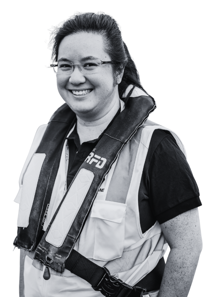
Celeste Tan
Ask me about
- How working offshore allows me to travel around the world
- What a day in my role looks like
- The best and most challenging parts of my role
About me
- International Experience
I did not originally plan to become a surveyor after leaving school and considered careers such as accounting, medicine, and engineering. While waiting for my STPM results (equivalent to the SSCE), I completed LCCI Levels 1–3 and considered pursuing accounting before accepting an offer to study Geomatic Engineering at a local university.
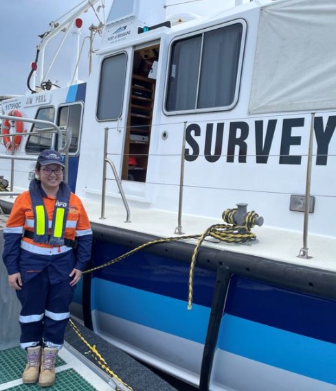
After graduating, I was unsure of my career direction and decided to complete a Master’s degree in Civil Engineering. I found a job with Fugro KL soon after graduating and worked as an offshore data processor, processing data for deep-water hydrographic surveys. After migrating to Melbourne, I worked in land surveying for several years before moving into photogrammetry during COVID-19. After we moved to Brisbane, I returned to hydrographic surveying with the Port of Brisbane. I am currently a Level 2 certified hydrographic surveyor and am working towards Level 1 certification.
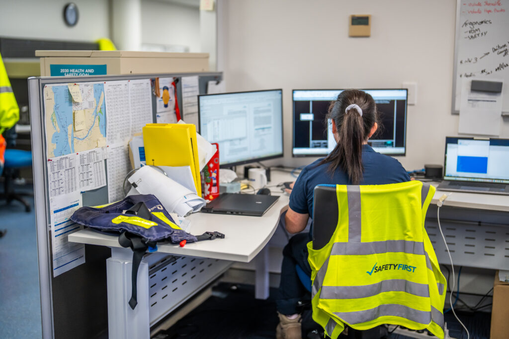
About my role
- Calm
- Curious
- Focused
- Logical
- Optimistic
Hydrographic surveying is the process of measuring and mapping seafloor topography and underwater features. Hydrographic surveyors collect accurate depth and position data using specialised equipment such as multibeam echo sounders mounted on survey vessels. These systems use sound frequencies to calculate water depths and seabed shape. The data is processed to correct for vessel positioning, motion, tides, and sound velocity. Final outputs include nautical charts, bathymetric maps, and digital terrain models. These are essential for safe navigation, dredging, environmental monitoring, coastal management, and the planning and construction of marine infrastructure. Hydrographic data may also be combined with LIDAR, laser scanning, and land-based surveys to create detailed coastal and marine models.
Education
- Degree in Geomatic Engineering (hons)
- Masters in Civil Engineering
- LCCI Certificates (Level 1-3)
Subjects
- Accounting
- Art
- Biology
- Chemistry
- English
- General Mathematics (Maths A)
- Geography
- History
- Languages
- Legal Studies
- Mathematical Methods (Maths B)
- Physics
- Science
- Specialist Mathematics (Maths C)
Awards
- Dean List (each semester)
Hobbies
- Art
- Cooking
- Gardening
- Painting
- Reading
My career journey
-
Worked offshore worldwide for 6 years
-
Got married
-
Migrated to Melbourne
-
Moved to Brisbane
-
Started Hydrographic Surveying with Port of Brisbane
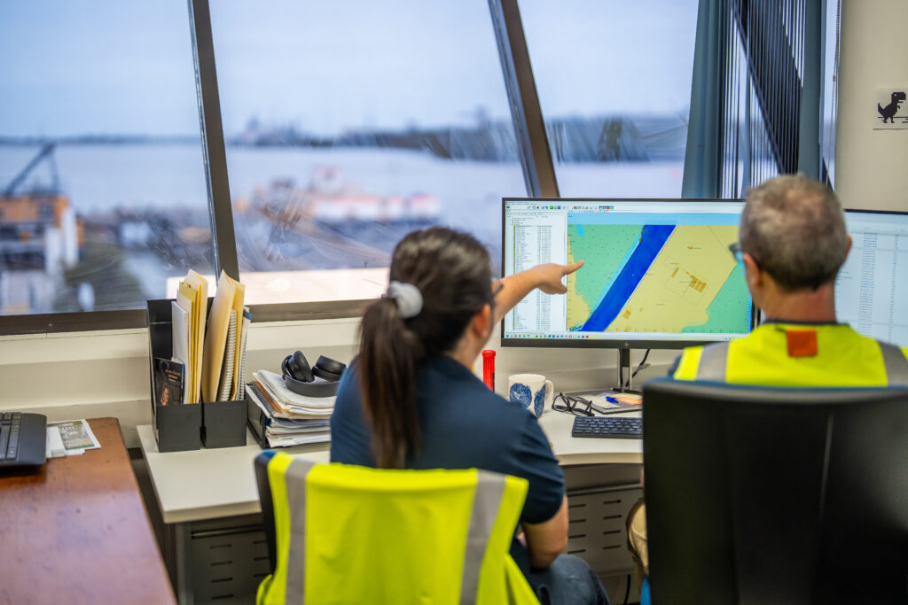
My typical day
My employer